
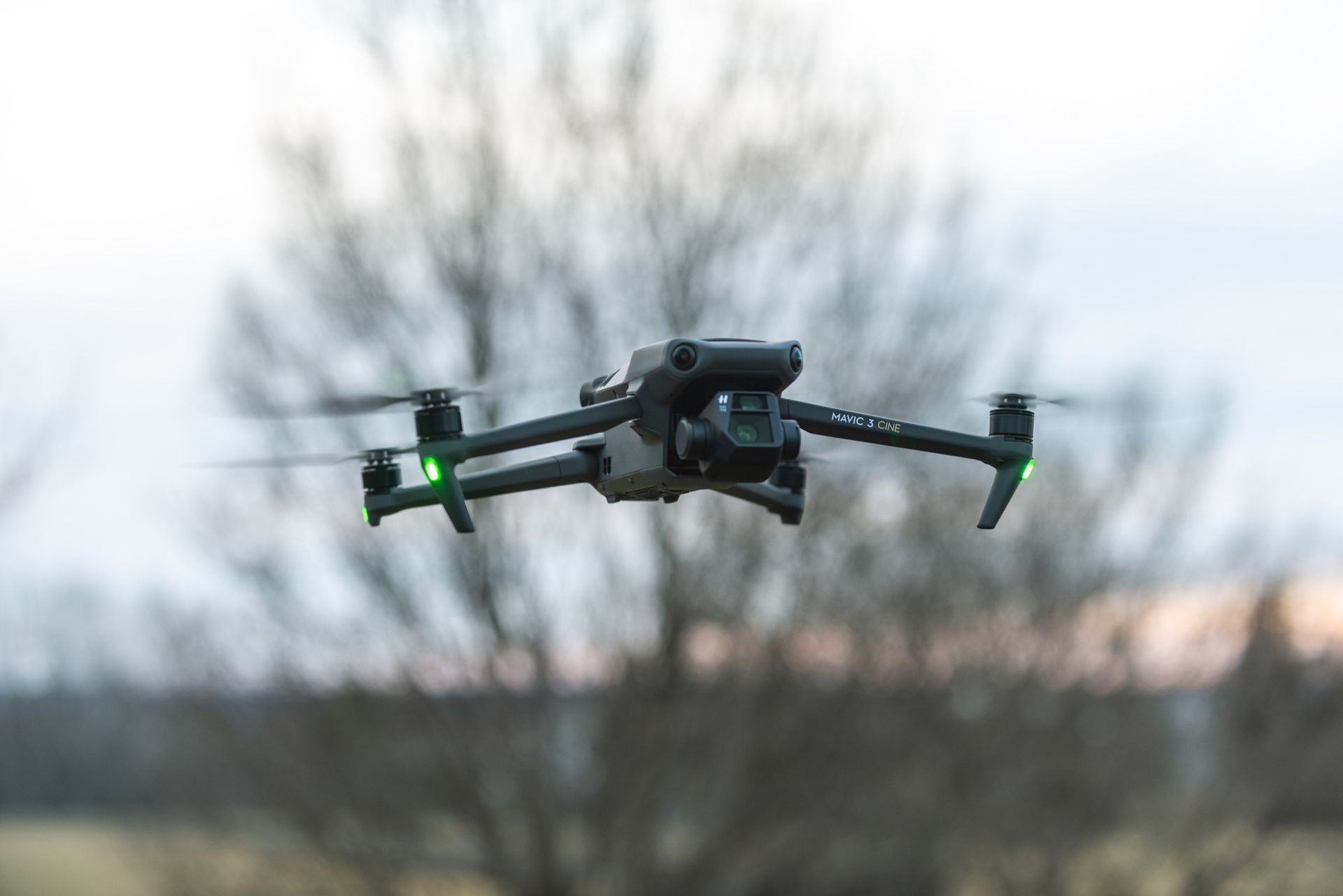
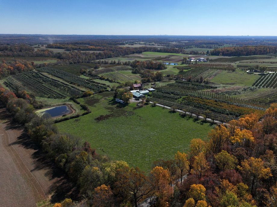
VAl offers commercial aerial photography services of geographical areas from above ground level.
The bird's eye view from this perspective is much different than from a handheld device. From our aerial flight missions, progression reports can be offered, and the imagery can be packaged as a single or multiple still shots, video reel, or map. Our aerial solutions offer an additional way to view and present an asset from a different perspective.
About Us
While flying in the National Airspace, we capture stunning views from above ground level of assets within the infrastructure. After the flight mission, the imagery is electronically transferred to the client (eco-friendly), which can be viewed on multiple platforms. We adhere to all Federal Regulations while flying in the National Airspace.
My Aerial Imagery


WHY US
Rate For Most Budgets! Including Hourly, Half Day, Whole Day!
Flight Missions
Aerial Photography
Documentation
Inspections
Imagery Services
Still Footage
Video Footage
Still & Video Footage
B2G
Capability Statement
VAI Aerial Imagery (VAI), LLC is a certified small business owned by a service-disabled veteran, recognized by the Small Business Administration (SBA). Our expertise lies in collecting and analyzing data from a designated geographic region, utilizing aerial photographs to provide valuable geographic information. This information is then transformed into digital or graphic representations, which we conveniently transmit to our stakeholders and clients electronically. Our aerial solutions offer a fresh perspective, enabling users to view, share, and present assets in a unique and compelling manner.er.er
CODES & CERTIFICATIONS
Service-Disabled Veteran Owned Small Business (Small Business Administration)
Small Business Program (Maryland Marketplace Advantage, MD)
Veteran-Owned Small Business Enterprise (Maryland Marketplace Advantage, MD)
Local Small Business Reserve Program (Montgomery County, MD)
NAICS CODES
541922 Commercial Photography
512110 Motion Picture and Video Photography
531390 Other Activities Related to Real Estate
541370 Aerial Surveying Services (except geophysical)
237300 Highway, Street, and Bridge Construction
SAMS UEI: EETXFRARDTZ5
CAGE CODE: 9KSE3


